


National code : FR3600074
International code : 106716 Protected Planet
Inspire code : FR.MNHN.I056FR3600074
UICN category : IV
Date of creation : 27-02-1985
Creation procedure : décision ministérielle (décret)
Technical operator of the data : DREAL AUVERGNE-RHONE-ALPES
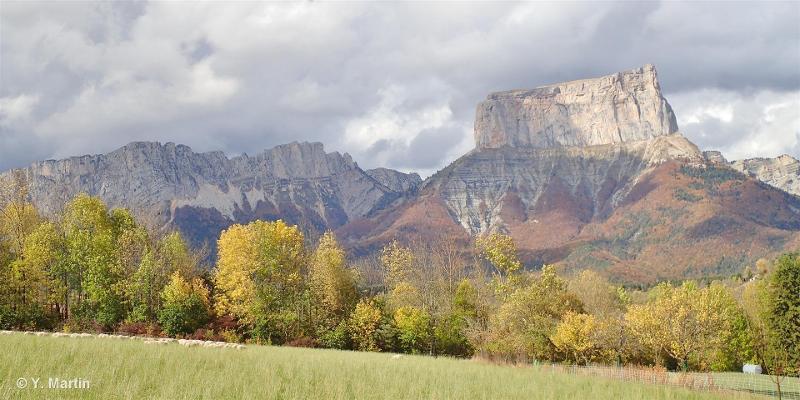
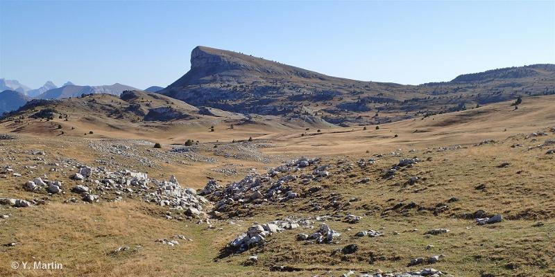
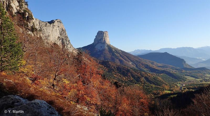
Manager : Syndicat Mixte du Parc naturel régional du Vercors
Coordinates of the center :
Official surface area (ha) : 16661.83
Calculated surface area - SIG (ha) : 17,570.211
 French Version