
Region : LORRAINE
Type of area : 1
Sheet editor : Secrétariat Scientifique ZNIEFF CSRPN Lorraine, DREAL Grand Est (à partir des ENS54)
Altitude (m) :
minimal : 200
maximal : 233
Calculated centroid : 48.68572° - 5.93705°
Les risques d’exploitations alluvionnaires restent importants dans le secteur, de nombreuses gravières anciennement exploitées étant présentes aux abords directs du site. L’intensification des pratiques agricoles et le retournement des prairies en culture représentent également des menaces pour la diversité biologique.
| Geomorphology : No information available |
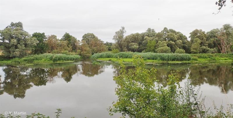
Human activities : Les activités agricoles comprennent essentiellement la fauche et la pâture des prairies inondables. La pêche et la randonnée sont également observées sur le site. No information available |
| Ownership status : No information available |
Protection measure : Intercepte tout ou partie d’un Espace Naturel Sensible (ENS) No information available |
| Patrimonial : | Functional : | Complementary : |
| 30 - Orthoptères 1 - Critères d'intérêts patrimoniaux 12 - Faunistique 15 - Reptiles 16 - Oiseaux 17 - Mammifères 46 - Phanérogames |
 French Version