Region : AUVERGNE
Type of area : 1
Sheet editor : Conservatoire d'Espaces Naturels Auvergne
Altitude (m) :
minimal : 633
maximal : 716
Calculated centroid : 45.98082° - 2.99243°
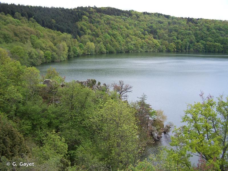
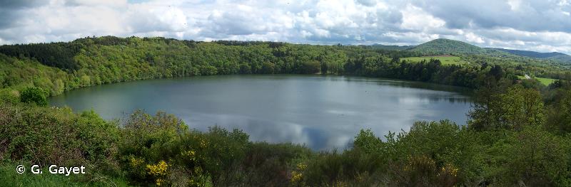
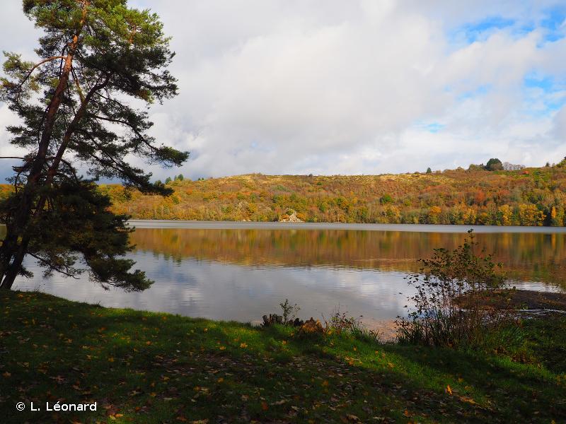
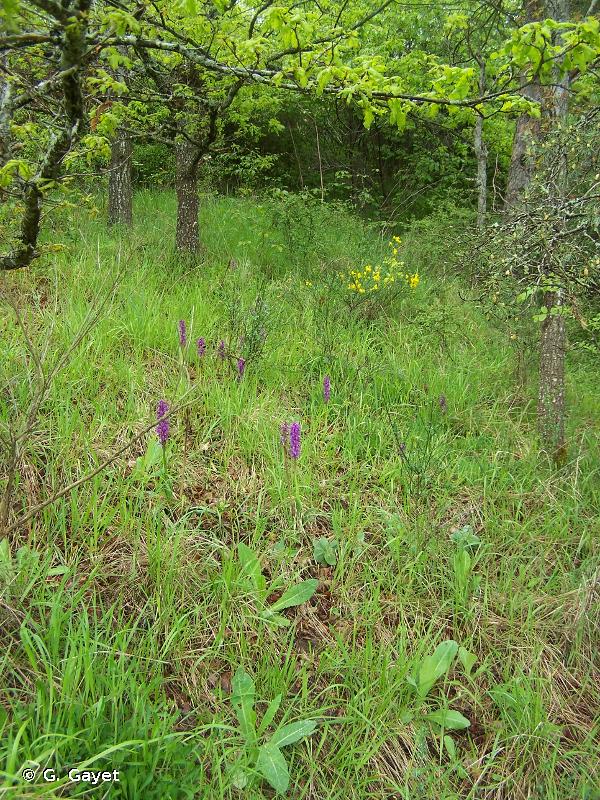
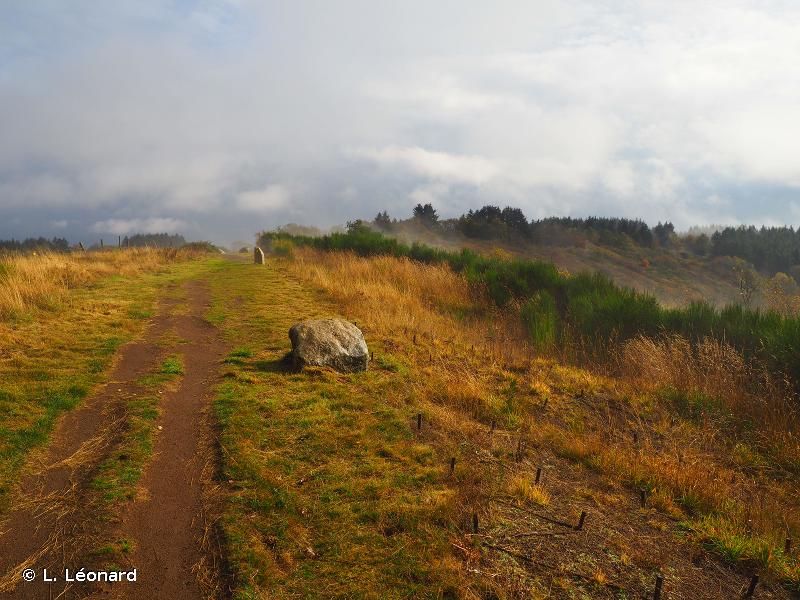
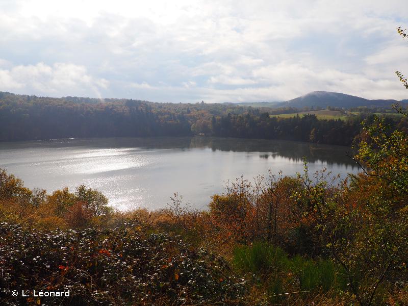
| Geomorphology : 32 - Lac 61 - Plateau 62 - Affleurement rocheux 70 - Escarpement, versant pentu 90 - Volcans |
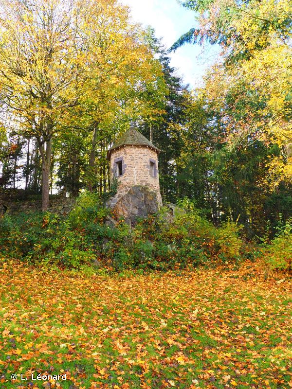
Human activities : 02 - Sylviculture 03 - Elevage 04 - Pêche 07 - Tourisme et loisirs 08 - Habitat dispersé 12 - Circulation routière ou autoroutière |
| Ownership status : 01 - Propriété privée (personne physique) 05 - Propriété d'une association, groupement ou société 21 - Domaine privé d'une collectivité territoriale 31 - Domaine privé communal |
Protection measure : 40 - Zone protégée au titre de la Loi Montagne 31 - Site inscrit selon la loi de 1930 80 - Parc Naturel Régional |
| Patrimonial : | Functional : | Complementary : |
| 1 - Critères d'intérêts patrimoniaux 12 - Faunistique 17 - Mammifères | 75 - Fonction d'habitat pour les populations animales ou végétales 77 - Etapes migratoires, zones de stationnement, dortoirs | 83 - Paysager 84 - Géomorphologique |
 French Version