Region : CORSE
Type of area : 1
Sheet editor : DREAL Corse
Altitude (m) :
minimal : 65
maximal : 65
Calculated centroid : 43.02529° - 9.40668°
| Geomorphology : No information available |
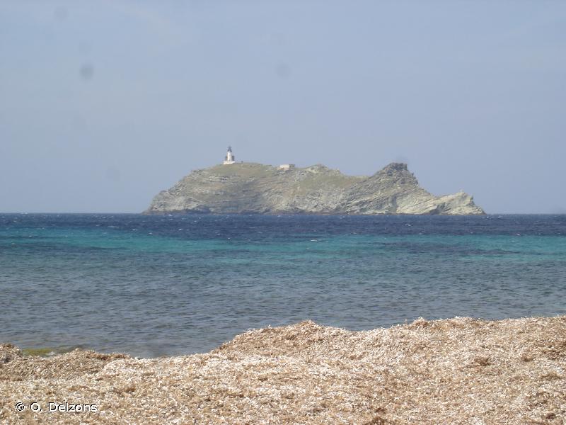
Human activities : Les constructions existantes sont le phare, qui a été occupé jusqu'en 1992 par deux gardiens, une maisonnette, la tour génoise et l'oratoire Sainte Marie. Depuis l'automatisation du phare, il n'y a plus de présence humaine permanente sur l'Ile et le bétail (ovins) a été retiré. 03 - Elevage |
| Ownership status : 60 - Domaine de l'État |
Protection measure : 32 - Site classé selon la loi de 1930 61 - Zone de Protection Spéciale (Directive Oiseaux) 62 - Zone Spéciale de Conservation (Directive Habitat) |
| Patrimonial : | Functional : | Complementary : |
| 1 - Critères d'intérêts patrimoniaux 2 - Ecologique 12 - Faunistique 16 - Oiseaux 42 - Floristique 46 - Phanérogames |
 French Version